
Topo Maps for iPad
The iPad may be a bit larger than your average outdoors GPS device. At the same time, it has a ton of features to offer in comparison to any of those GPS units on the market. It’s a killer map viewer too. Topo Maps for iPad is a powerful map viewer for your iPad that lets you explore new areas around your region more effectively. It has a ton of apps and does not need you to be connected to the Internet to get it to work.
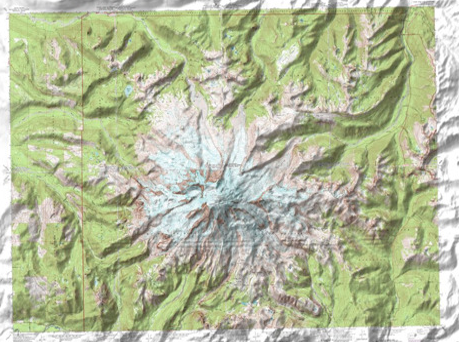
Top Maps gives you access to 70,000 US and Canada topographical maps. You can download maps free, which is always nice to see as there are plenty of developers who try to nickel and dime you every chance they get. Downloading new maps does not take too much time. I also like the search functionality as it can save you a lot of time when searching for a specific peak, lake, or park.
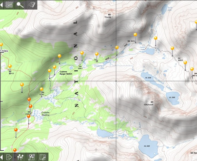
The maps are of high quality. It’s also very helpful that you won’t need an Internet connection to use the maps once you have downloaded them. You can always import and export way-points as you wish.
Overall, if you are planning to go for a hike and want to have a dynamic map in your hands, Topo Maps for iPad is a nice option to consider. It’d been nice if the developers focused more on navigation when outdoors. But this is a very solid map viewer.
People who visited this article also visited: